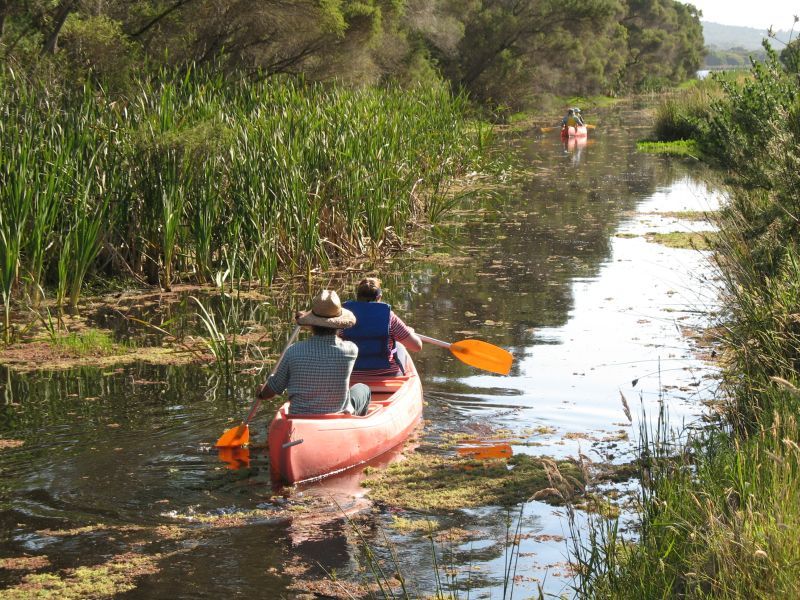
 Riparian land is defined as ‘any land which adjoins, directly influences, or is influenced by a body of water’. The body of water could be a creek or stream (even if it flows only occasionally), a river, a lake, or a wetland. There is no rule of nature that defines the ‘width’ of riparian land, and it is important that riparian land is not thought of as just a narrow strip running alongside a stream. Depending on the particular landscape (a floodplain, valley or gorge) and the surrounding land uses (agriculture, forestry, national park or urban housing), the width of riparian land that requires special management could be one or two metres, or several hundred metres. The width of interest or concern is best determined by the particular landscape and land use, and by the management objectives you wish to achieve.
Riparian land is important because it is often the most fertile and productive part of the landscape, in terms of both agricultural production and natural ecosystems. It often has deeper and better quality soils, and supports a higher diversity of plants and animals than the surrounding hillslopes. Many native plants are found only, or primarily, in riparian areas, and these areas are also essential to many animals for all or part of their lifecycle. The vegetation on riparian land regulates in-stream primary production through shading; supplies energy and nutrients; and provides essential aquatic habitat by way of large pieces of wood that fall into the stream and through root-protection of undercut banks.
In addition to being productive, riparian land is often a vulnerable part of the landscape — being at risk of damage from cultivation or over-grazing and from natural events such as floods. The combination of productivity and vulnerability means that careful management of riparian lands is vital for conservation of Australia’s unique biodiversity, for continued agricultural productivity and for its recreational, aesthetic and spiritual values.
Sound riparian management is not a substitute for good land management elsewhere in the catchment. Rather, it should be seen as one part, albeit a very important part, of sound management throughout the property or catchment. Even the best management of riparian lands will not overcome management practices elsewhere that lead to excessive soil erosion, or off-site loss of nutrients or other contaminants. Planning is the key to successful management of riparian land. This might include identifying riparian areas and their special needs within a whole farm or property plan, a fire management plan for a national park, or as part of urban planning for land use and development.
Our resource pack contains:

Fact Sheets
Fact sheet 1 – Managing riparian land
Fact sheet 9 – Planning for river restoration
Fact sheet 12 – Riparian ecosystem services

RipRap Magazines
RipRap 11 — Riparian Zones: What are they?
RipRap 23 — Managing Riparian Land To Achieve Multiple Objectives
RipRap 31 — Wrapping up riparian
RipRap 35 — Restoring Rivers and Wetlands to Life
RipRap 37 — Rivers of Carbon – Rivers of Life
RipRap 40 — Thrive: Nature, Water and Wellbeing

Guidelines and manuals
Principles for riparian lands management (Chapter 1)
A Rehabilitation Manual for Australian Streams: Volume One and Two
The Rapid Appraisal of Riparian Condition assessment tool

Powerpoint presentation template
A powerpoint presentation template you can use to reflect local riparian characteristics, by inserting photos and examples from your region. The powerpoint presentation has notes to accompany each slide, explaining the key point being made and how you might explain it to others.
Download the resource pack.
This resource pack is free but we rely on donations to keep sharing knowledge. Please click on the button below to download the pack, and we encourage you to donate as much or as little as you are able to. Your contribution gives us fuel to build future resources for you and others alike.